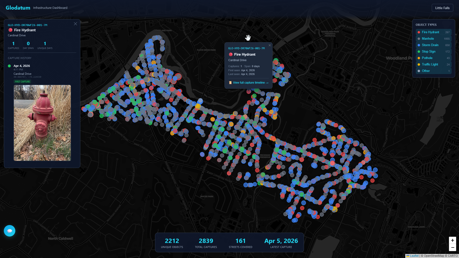
Live infrastructure dashboard — Little Falls, NJ · Request Access →
Ground truth for the physical world.
The canonical database of infrastructure assets — captured, identified, and tracked over time
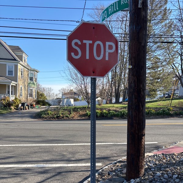
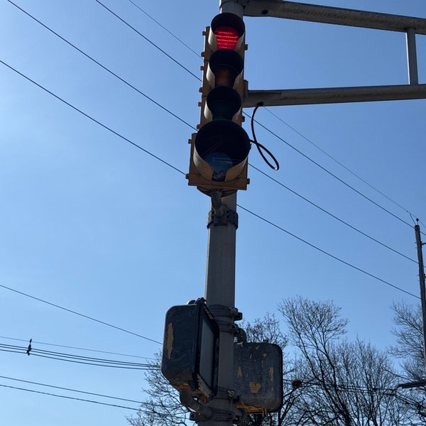
Every fire hydrant, manhole, street sign, and storm drain gets a permanent digital identity — GPS-verified, photo-documented, and tracked over time. One platform. A permanent digital identity for every infrastructure asset.
Live infrastructure dashboard — Little Falls, NJ · Request Access →
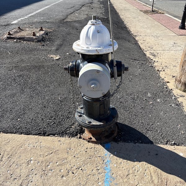
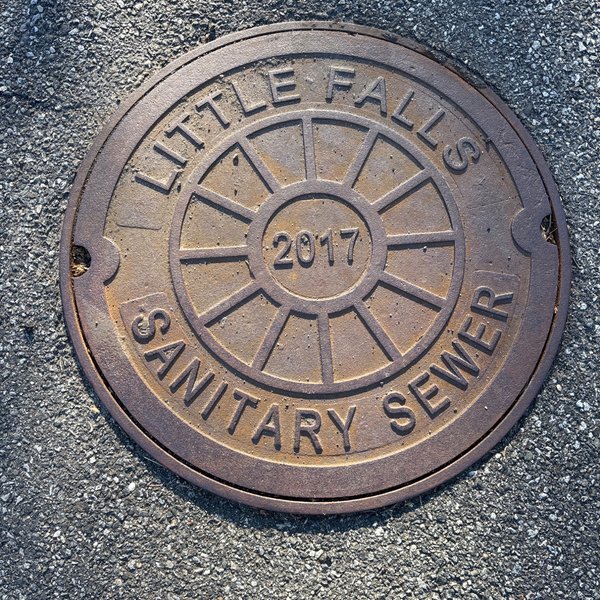
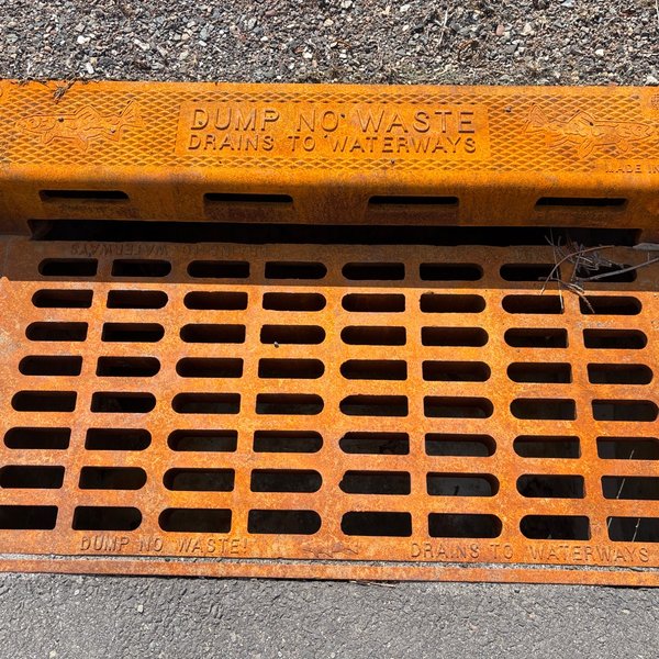
Our distributed field network documents infrastructure assets across New Jersey. GPS coordinates, timestamps, and image hashes on every capture.
Every object gets a permanent Glodatum Object ID — a unique digital identity tied to its GPS location. AI classifies type, subtype, and owner from cover markings.
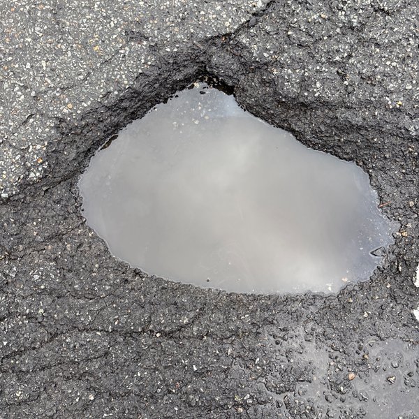
Same object, captured over time. Condition changes, damage, repairs — a living time-series record of every asset in the field.
Complete infrastructure inventory without expensive engineering surveys. Know what's on every block — continuously updated.
Independent condition monitoring across your service territory. Hydrants, manholes, valves — GPS-verified, tracked over time, fraction of crew cost.
Existing conditions documentation and infrastructure mapping. Supplement your surveys with continuously updated field data.
See what we've already documented, or contact us about infrastructure data for your organization.